The Underwater Grasses Groundtruthing project features volunteer Magothy River Kayakers and Canoers who use a shared Google Map to locate and identify Submerged Aquatic Vegetation in the river.
In addition to mapping what is found, we are recording the absence of SAV by plotting points where there should have been SAV but nothing was found. This helps us identify viable SAV locations.
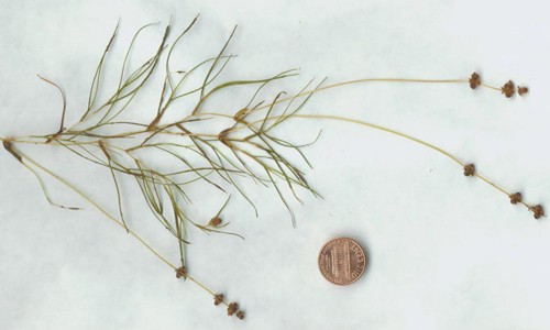
We attempt to quantify the density of SAV beds found using sparse, medium, and high values. A polygon feature of the map system allow us to delineate the boundaries of found SAV beds. Below you will find pictures of the most commons SAV we encounter, and map instructions. Here’s a link to an online field guide which is a wonderful resource.
http://www.chesapeakebay.net/fieldguide/categories/category/bay_grasses_sav
Anyone with a link to the map can edit, so please share with any friends and neighbors that may be interested in participating.
Map Link: https://www.google.com/maps/d/u/0/edit?mid=zfUq3XE4xVCQ.kiZe8k2aJD90
Map Instructions: SAV-Map-Instruction.docx


Contact Dr. Sally Hornor using the Email Us form on this page.