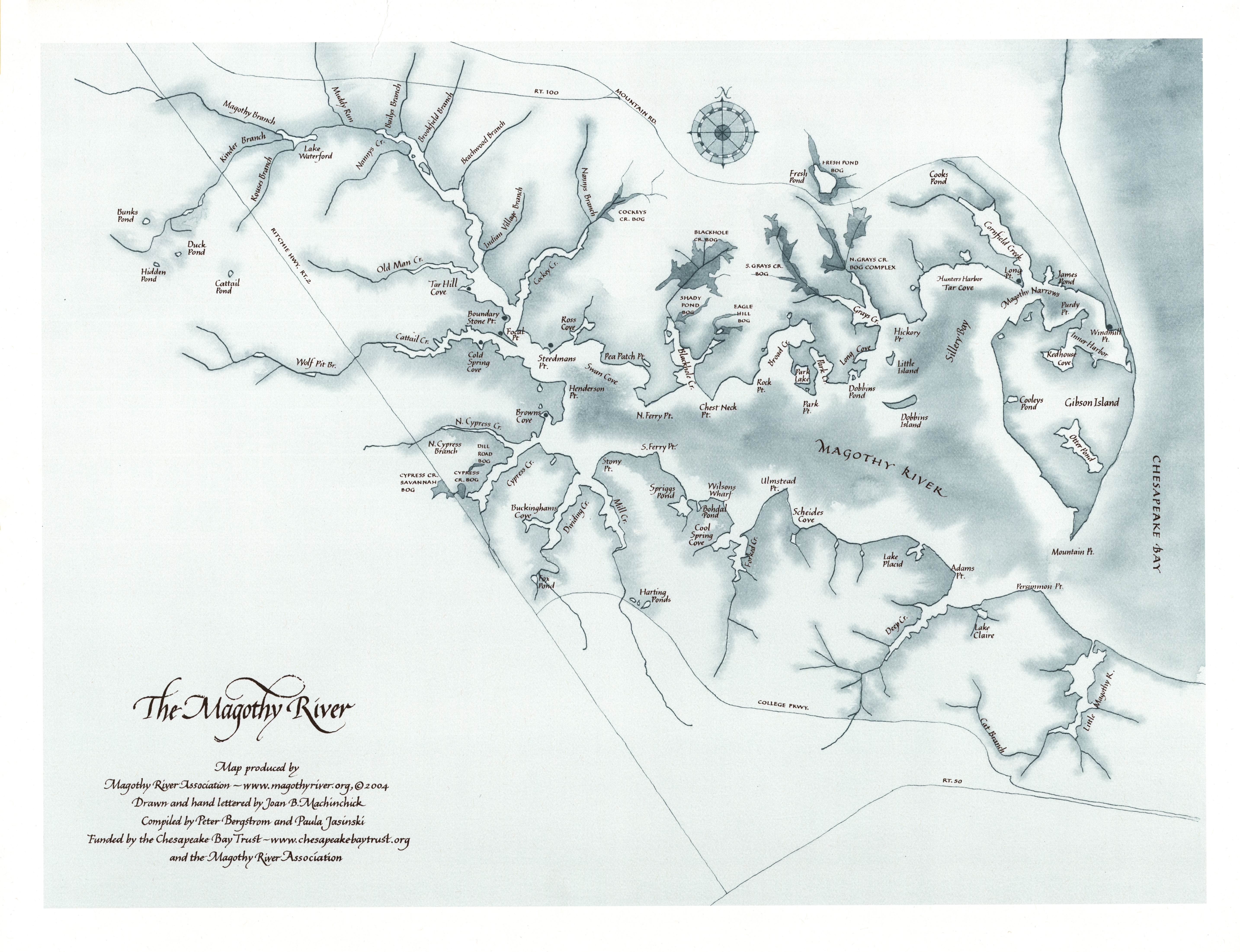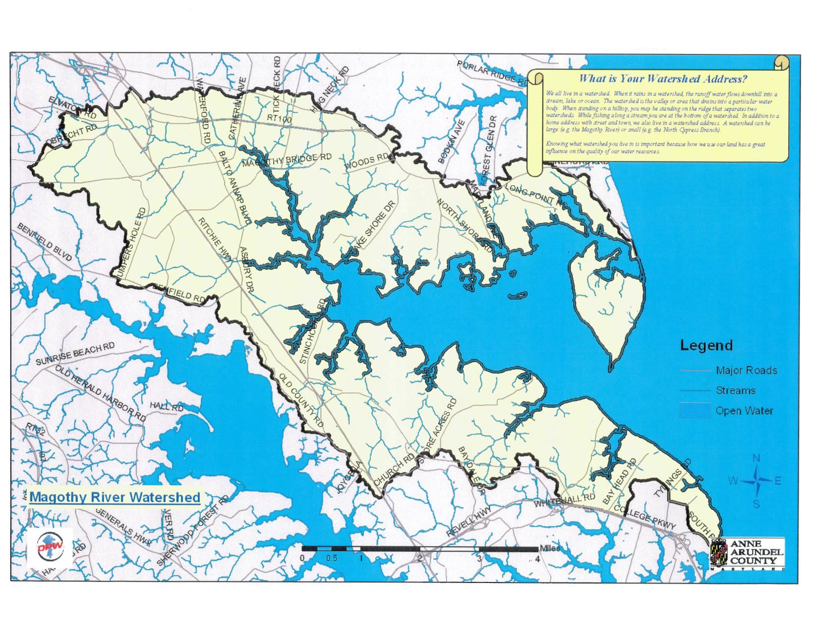
The Magothy River originates in Anne Arundel County in Severna Park, Maryland, and flows for approximately 6 miles into the Chesapeake Bay next to Gibson Island, between the Patapsco and Severn Rivers. It is a tidal sub-estuary of the Chesapeake Bay with a watershed area of 44 square miles, including about 9 square miles of water surface. It is probably best known among recreational boaters for the popular anchorage behind Dobbins Island. Its navigable tidal portion is crossed by one bridge, located on Magothy Bridge Road in Pasadena. Its upper, non tidal portion is called Magothy Branch, and is dammed at MD 648 (Baltimore-Annapolis Boulevard) to form Lake Waterford. The river is less than one hour from Washington, Baltimore, and Annapolis.
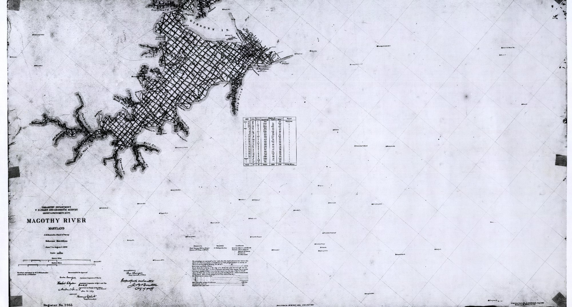
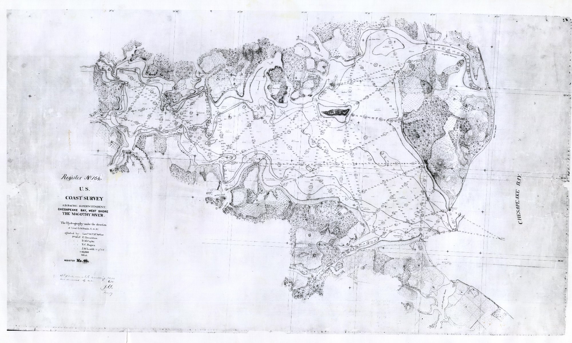
Download current and historical maps from our map gallery: